When creating an AI estimate, you can trace areas directly on a satellite map including lawns, driveways, patios, and more so the AI uses real measurements instead of guesses.

While creating an AI estimate, tap Add address & measurements.
Search for the service address, the map jumps to a satellite view of the property, powered by Google.
Select what you want to measure: Lawn, Driveway, Patio, Beds, Fence, or Other.
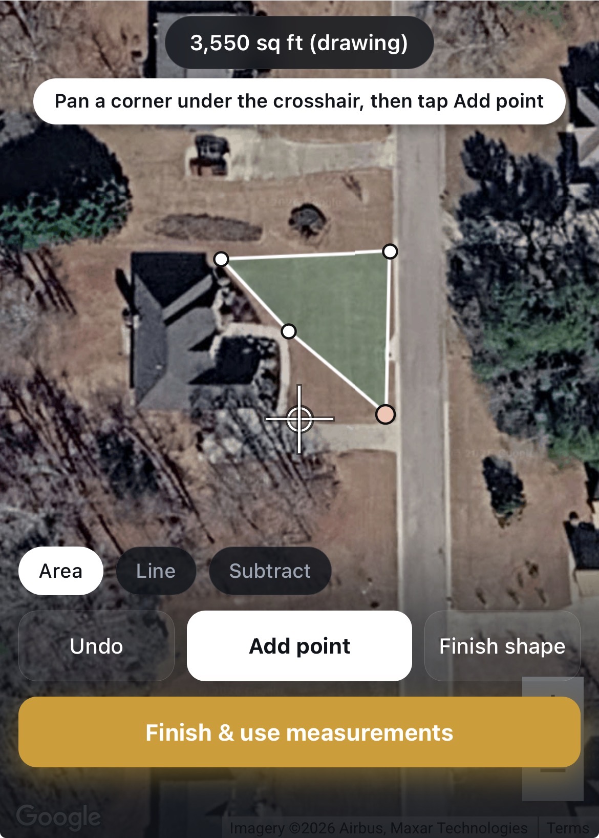
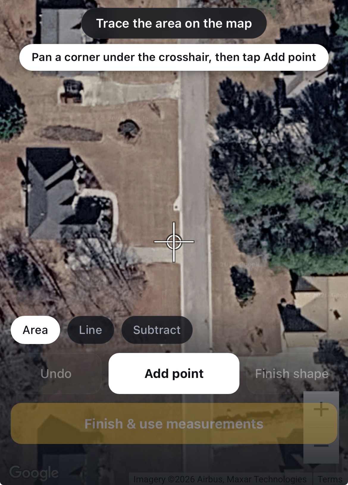
Pan the map so a corner of the area sits under the center crosshair, then tap Add point. Repeat for each corner of the area.
When you've traced all the corners, tap Finish shape, the square footage appears instantly. You can drag any point to fine-tune the shape.
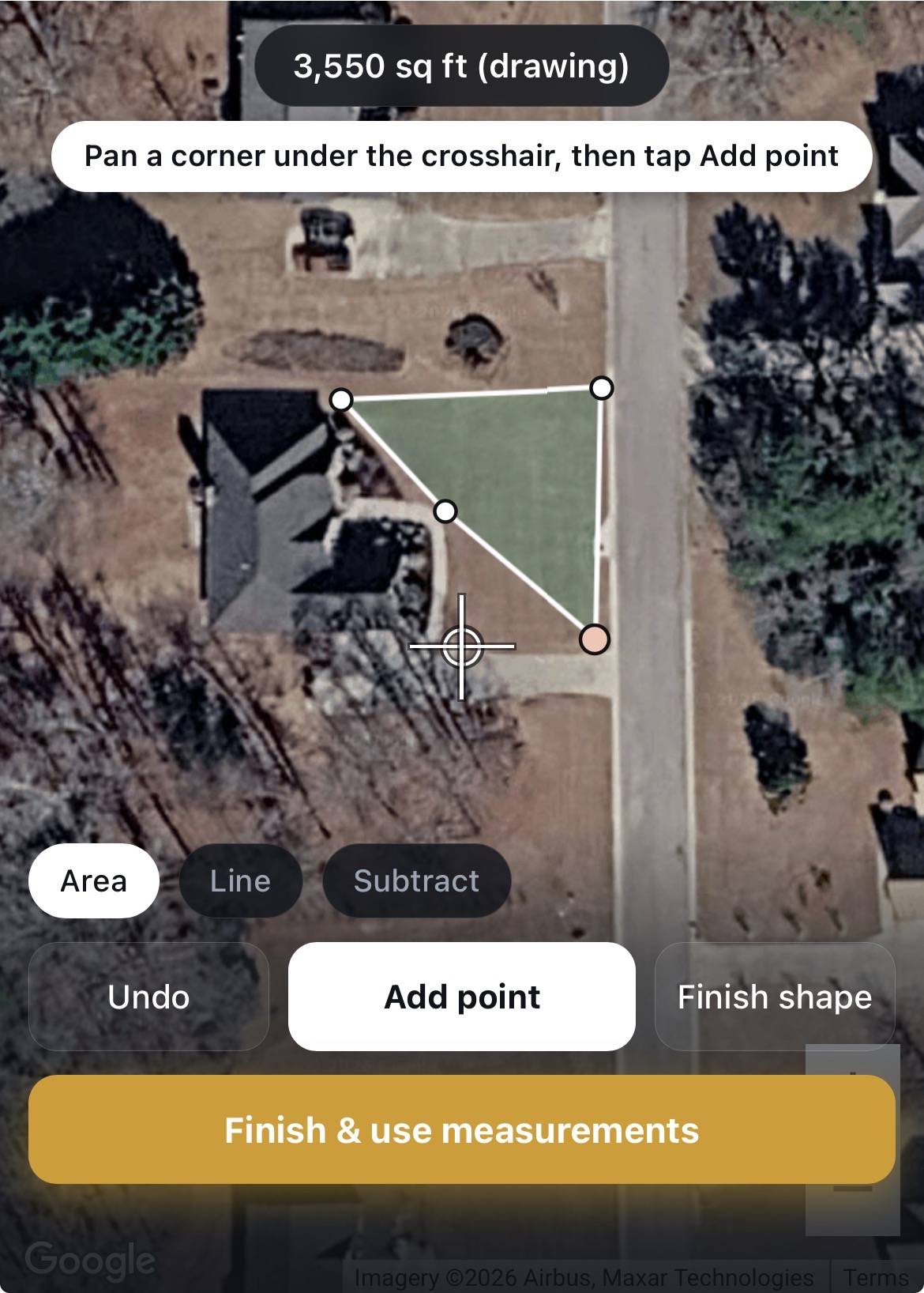
If you need to measure additional areas, repeat steps 3–5 for each one.
When all areas are traced, tap Finish & use measurements.
Review your measurements and tap Looks right to confirm, the AI will use those exact numbers for your estimate.
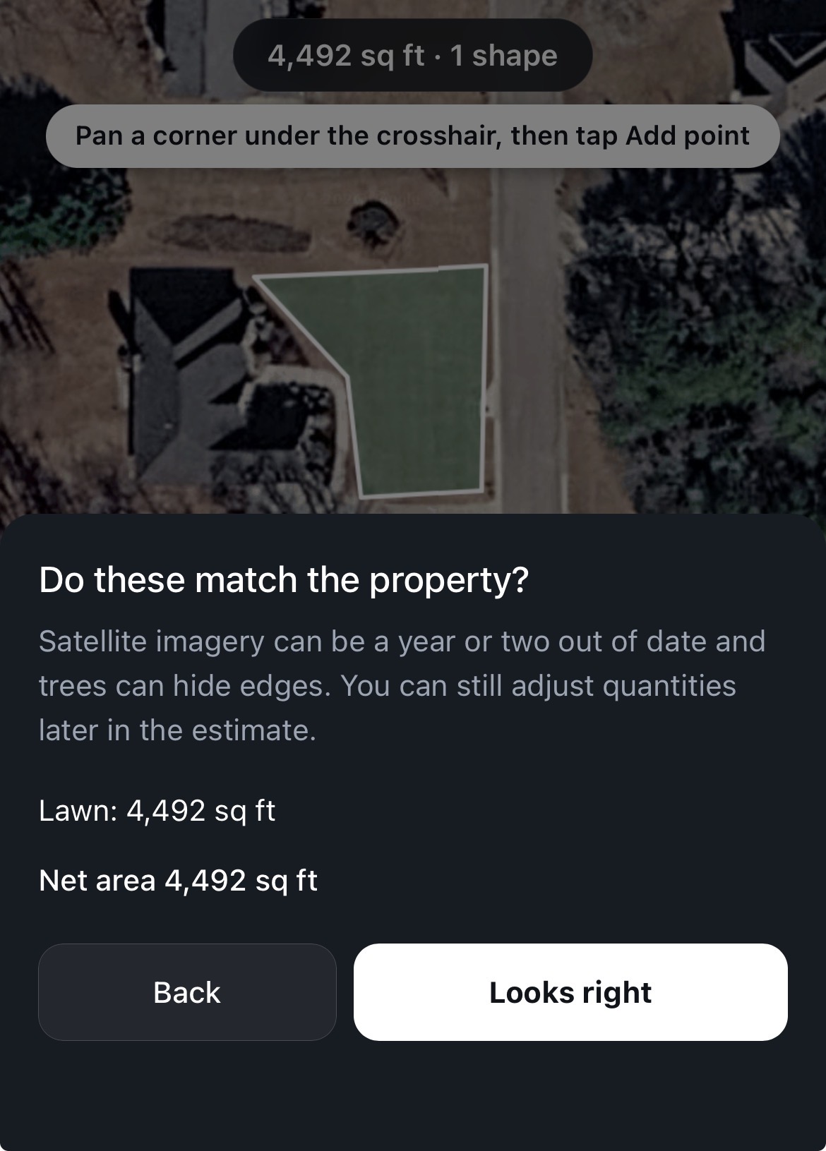
You can measure multiple areas in one session, for example, a lawn and a driveway on the same property.
Use Undo if you place a point in the wrong spot.
The more accurately you trace, the better your AI estimate will be.